Mississippi risk geography breaks down into four distinct exposure zones, each with a different underwriting conversation.
The Gulf-coast hurricane zone. Hurricane and tropical-storm exposure dominates the physical damage conversation along Gulfport, Biloxi, Pascagoula, and Bay St. Louis. Port of Gulfport drayage and Pascagoula petrochemical hauling add intermodal-specific and tank-truck exposures — chassis-interchange liability, terminal-yard property damage, refined-product cargo events, and the timing-window pressure that follows port and refinery operations.
The I-20 / I-55 Jackson crossroads. The state-capital crossroads concentrates through-traffic from four interstate directions plus the Nissan Canton automotive supplier lanes. Urban-corridor interchange-density rear-end and lane-change collisions are the recurring claim pattern, and the I-55 north spur produces a regional consolidation feeder into Memphis logistics.
The Mississippi River Delta agricultural corridor. Reefer breakdown on Delta catfish, poultry, and row-crop agricultural loads plus seasonal harvest-window pressure produce a refrigerated-and-agricultural claim mix unlike the rest of the state. River-barge intermodal handoffs at Greenville and Vicksburg add a multimodal cargo conversation.
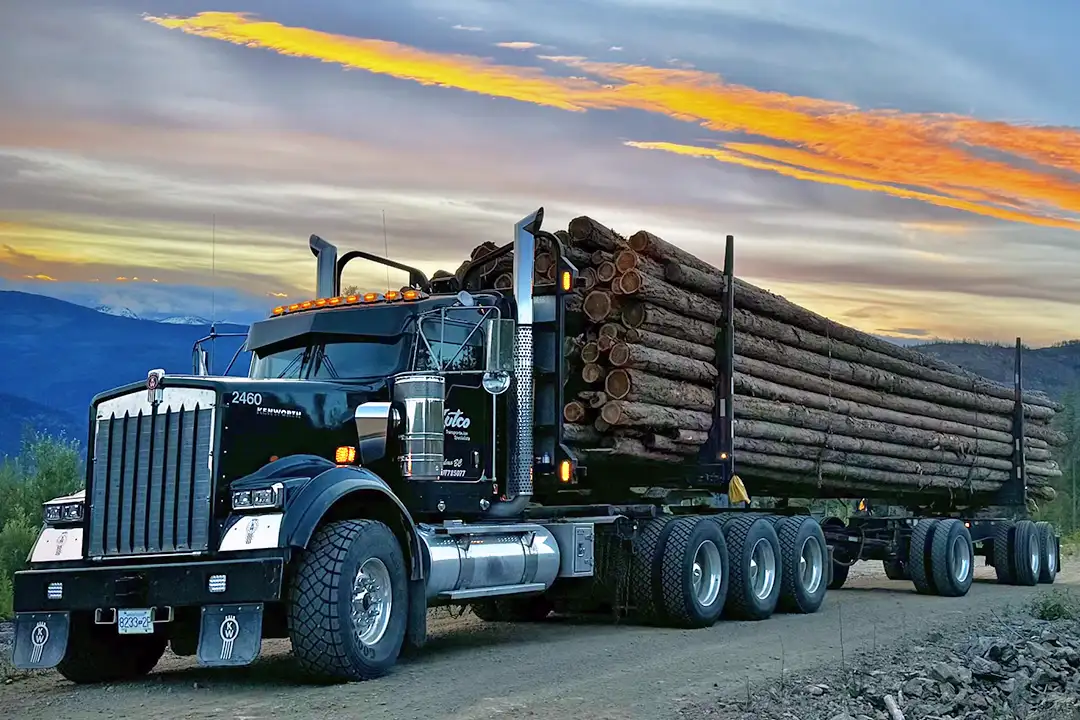
The Tupelo-Hattiesburg manufacturing and forestry base. The Tupelo furniture-industry capital plus the Toyota Motor Manufacturing Mississippi plant in Blue Springs produce a high-cube van, flatbed, and automotive supplier freight base. South of Tupelo, the Hattiesburg pine-belt forestry corridor adds log-hauling and flatbed timber freight with its own off-road exposure profile.
On top of geography, Mississippi motor carriers face the operational risks every motor carrier faces: cargo claims when shippers dispute load value, CSA score deterioration after a roadside inspection cluster, driver injury claims, and renewal-cycle premium pressure after a single severity year. Geography amplifies these; it does not replace them.